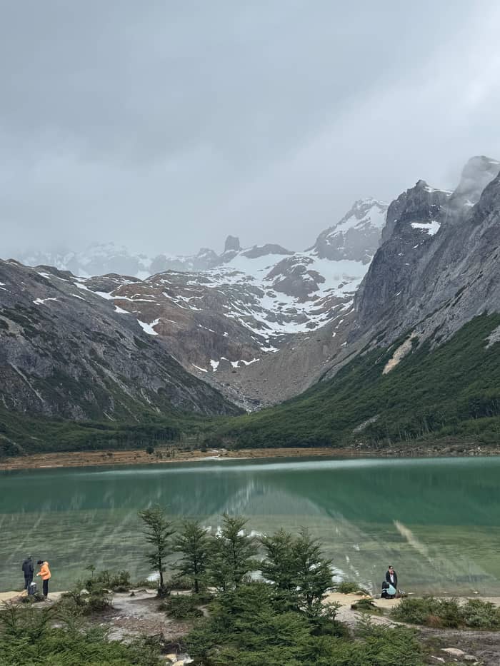
Watch your step
Forest start
Roots and stones
- TreesLenga beech
- GroundRoots, stones
- EffortGentle
Decision guide
Guided Laguna Esmeralda trek from Ushuaia
★ 4.9 · 332 user reviews
Brief answer
The Laguna Esmeralda hike near Ushuaia is about 9 km there and back with 220 m of climb and 4 to 5 hours of walking, rated medium, with wet, slippery ground the main challenge.
Difficulty essentials
Two questions, one fitting day
Tell us how much you walk and how long you want to be out, and a lagoon trek appears with its starting price.
Your ideal pick
from $99
Poles handed out, a guide at the pace of the group, 6 hours from your hotel.
Your ideal pick
from $120
Your own guide and your own speed over 5 hours, with a packed lunch.
Your ideal pick
from $110
A 5-hour day with 4 hours at the lagoon trail and a box lunch.
Your ideal pick
from $135
7 hours: the lagoon, lunch, then 1.5 hours more walking in Tierra Mayor.
How long the Laguna Esmeralda hike near Ushuaia takes, how much it climbs and why the mud, not the slope, sets the difficulty, from the official trail figures.
Editorial team, lagunaesmeraldatrek.quest · Updated November 9, 2026 · 7 min reading time
Key facts
The Ushuaia tourism office gives the trail a distance of 9 km there and back.1 The provincial tourism board measures it a little shorter, at 8.6 km, and describes it as a round trip on the same line.2 Either way you walk out and back on one path, with no loop to shorten or lengthen the day, so the lagoon is both the goal and the turning point.
For time on foot, the city allows 4 to 5 hours for the whole walk.3 The province rounds it to 5 h.2 Those figures assume normal stops; a long lunch at the water, a slow group or deep mud pushes them up, and a fast pair on a dry day can come in under them. Plan for the upper end, and you will rarely be caught short of daylight.
The trek we book splits the time in a way that shows the shape of the day: 2 hours of guided walking to the lagoon, 1 hour there for lunch and photos, and 2 hours back down the same path. Add the van at each end and the whole outing fills 6 hours from hotel to hotel. That is a full morning and early afternoon, not a quick stroll before lunch.
The figures side by side
| Measure | City of Ushuaia | Province | Our trek |
|---|---|---|---|
| Distance | 9 km round trip1 | 8.6 km2 | About 5 km each way |
| Time | 4 to 5 hours3 | 5 h2 | 2 hours up, 2 down |
| Climb | 220 m4 | Not given | About 250 meters |
| Rating | Medium/easy terrain5 | Medium2 | Not given |
Figures as each source publishes them; none is a measured guarantee for your day.1
Ask different sources how much the trail climbs and you get different answers. The city sheet gives a desnivel, the Spanish word for elevation gain, of 220 m.4 The trek we book speaks of about 250 meters of climb over about 5 kilometers to the water. Another operator lists a total ascent of 163 m over 9 km for its longer day.
The differences are normal for a trail like this. Each source measures from its own start point, rounds in its own way, and may count only the climb or the climb with every small dip in between. What they agree on matters more: this is a modest climb, not a mountain ascent, and the steeper part comes after the bog, on the way up to the water.10
Where you end up is higher than the city by the sea. The province says the trail tops out in high mountain country, averaging 600 meters above sea level, while Visit Argentina gives the altitude as 450 m.9,11 Dress for it in any month: the province advises layers, since the weather here changes suddenly.12 A windproof shell in the pack weighs little and makes the lunch stop at the shore far more pleasant.
Climb by source
Elevation gain as each source states it; start points and rounding differ.4
The city tourism office makes a useful distinction. In its hiking guide it says the level of difficulty and the level of demand of a trail do not always go hand in hand: difficulty describes the terrain, demand describes the effort your body puts in.14 For this trail it rates the terrain medium/easy and the physical demand medium.5,6
In the same guide, Esmeralda Lagoon sits in the group of medium-low difficulty trails, next to the Martial glacier path and waterfall walks such as Velo de Novia.15 The province rates it plainly as medium.2 The city also calls it a good choice for people who want to enjoy nature without setting out on long walks.16 In other words: a real hike, and a fair one for regular walkers.
What these labels do not show is how the effort is spread. The first part runs through forest and open peat bog with little gain; the climb comes later, up to the lagoon fed by meltwater, as the city describes it.10 Expect easy minutes and slow minutes, and pace yourself for the later climb rather than the easy start.
Ground by stretch
Watch your step
Roots and stones
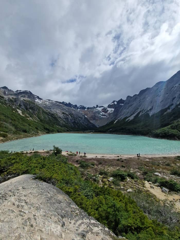
Boggy stretch
Mud and boardwalks
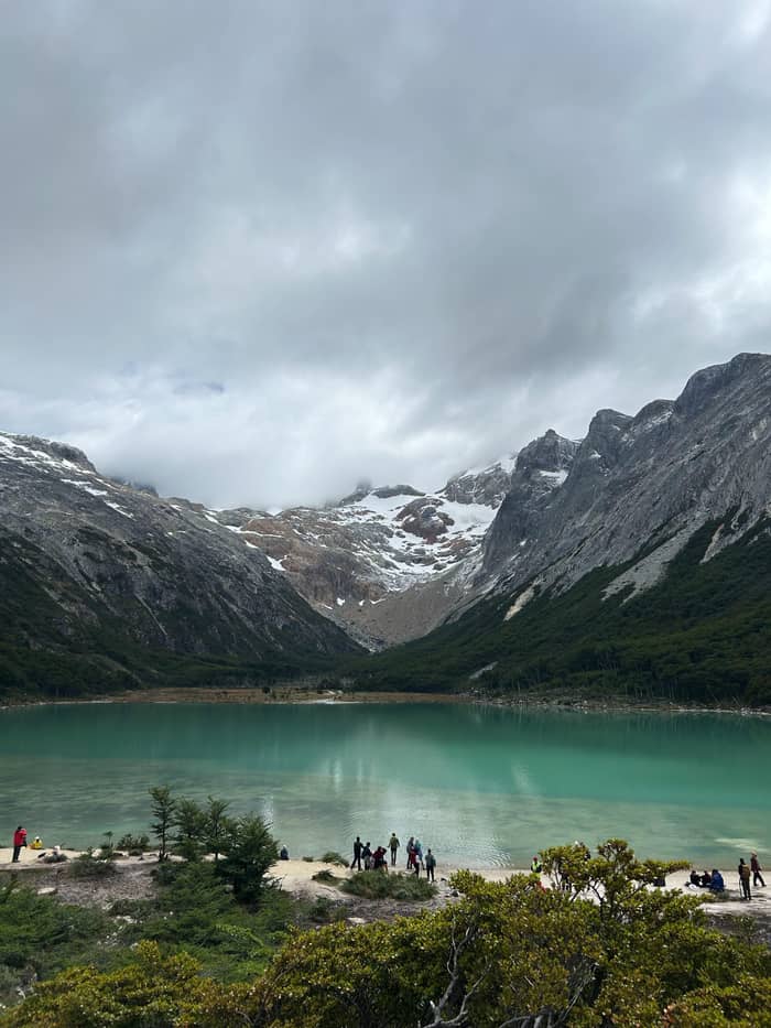
The climb
Up to the water
The ground is what earns the medium rating. The province says a large part of the trail crosses wet and slippery terrain, and says boots, rain gear, poles and warm clothing are needed whatever the season.7 The valley floor is mostly Sphagnum bog, according to its reserve page, and that moss holds water like a sponge.20
The walk opens in lenga forest, the native southern beech of the area, then crosses stretches where trees and peat bog take turns, before climbing to the water.8,9 In the forest, roots and stones are the hazard; in the bog, it is mud deep enough to swallow a boot. The province names peat bogs, roots and sharp stones as the cause of serious accidents for walkers in the wrong footwear.21
Keep to the trodden line even where it is muddiest. Stepping wide to dodge a puddle tramples the bog and widens the scar, and the ground beside the path is often softer than the path itself. Waterproof boots and gaiters make that choice easy; trainers make it miserable. On the way down, short steps and planted poles do more for your knees than speed does.
The walk in stages
Start
Native southern beech shades the first part of the path.8
Valley floor
Trees and bog alternate; expect mud.9
Final climb
The trail climbs to the meltwater lagoon.10
At the water
450 m for Visit Argentina, a 600 m average for the province.11,9
Return
About 2 hours back on our trek.
You do not need mountaineering skills for the lagoon, but you do need the legs for several hours of uneven walking. The provincial hiking leaflet puts it simply: pick trails that match your physical preparation.22 If you can walk for half a day on rough paths at home without trouble, that is a fair yardstick for this one.
Poles earn their place on this trail. The trek we book hands out trekking poles to everyone before the start, along with crampons when they are needed. On the descent, which follows the same path back, they take load off your knees and give you an extra point of contact on slippery boards and mud. If you bring your own, set them a little longer for the way down and shorter for the climb.
Some walks are not suited to everyone. Other operators state that their lagoon treks are not recommended for people with limited or reduced mobility. The record of our trek names no age limit, so families with young children should ask the operator before booking and judge by how far the children usually walk.
Video
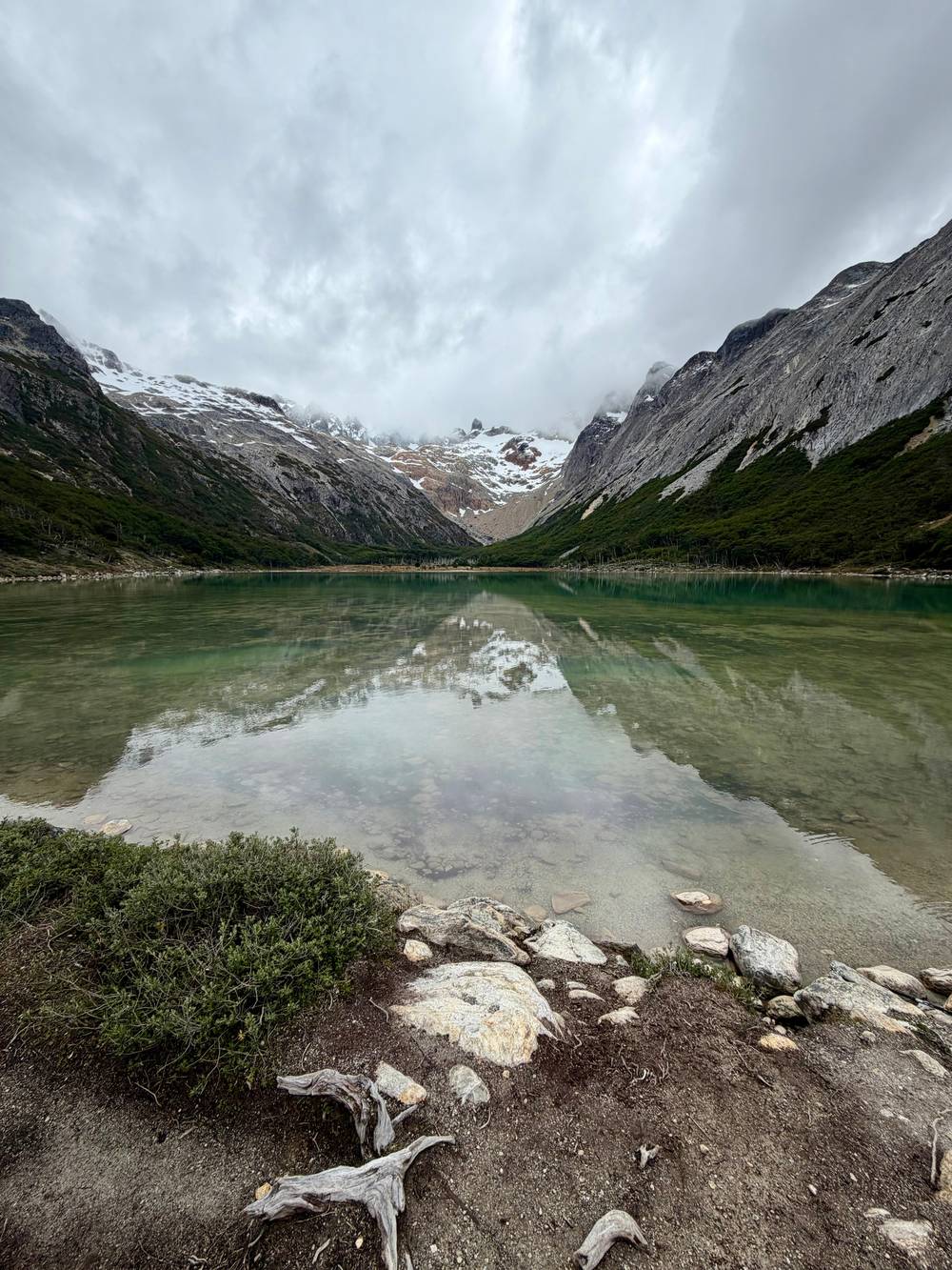
Nice Regions on YouTube · Nothing is fetched until you hit play.
When choosing the most suitable trail for you and your family, it is important to take into account some parameters, the level of difficulty and the level of demand, which do not always go hand in hand.
Fit for the trail
For children, the length matters more than the climb. A round trip of about 9 km with a steady climb is a big outing for small legs, and wet feet end good moods quickly.1,4 If your children already hike half days at home, they have a good chance of enjoying it, as long as they have proper boots and a waterproof layer.
A slower walker sets the speed of a whole group, and the municipal mountain leaflet says that is how it should be: the slowest trekker sets the pace.17 On a guided group day, that means a patient rhythm with breaks; on a private hike, the guide simply adapts to you. Either way, start early so the slow pace never collides with the trail cut-off.
If anyone in your party is unsure, plan a turnaround time before you set off. The lagoon is the natural goal, but the forest and the bog are beautiful in their own right, and turning back early is better than rushing the slippery descent. Carry snacks for the children, a dry pair of socks for everyone, and a small treat for the moment the green water comes into view.
The same trail is a different walk in the cold months. From autumn into winter, the province says, days shorten, temperatures drop below zero and the trails can turn icy or snowy; it calls proper gear and footwear essential.13 Winter averages on the island sit between 1 and 6 °C, against 10 to 15 °C in summer.23,24
Time limits tighten too. The provincial trail page sets the latest entry at 3:00 PM in spring and summer, but brings it forward to 12:00 noon once autumn arrives.19 A walk you could start after lunch in January becomes a morning-only walk in June, and the snow makes every hour on the trail slower. Build in that slack when you choose your date, and hold a reserve date in your Ushuaia plans for a stormy morning.
Weather can raise the difficulty in any month. The province advises layered clothing because conditions change suddenly here.12 Rain turns the bog softer and the boards slicker; wind at the lagoon makes a lunch stop cold in minutes. None of this rules the hike out, but it means the honest rating on a bad day is a step higher than on the official sheet.
FAQ
The city allows 4 to 5 hours there and back; our guided trek takes 6 hours door to door.3
The city sheet lists 220 m of gain; our trek speaks of about 250 meters.4
No age limit is named in our trek record; ask the operator, and bring boots that grip.18
The province asks for walking sticks on this trail all year; our trek hands them out.7
Ice or snow on the path and sub-zero temperatures are the provincial warnings for those seasons.13
Sources
Read on
Hiking to the green lagoon from Ushuaia? Ask a real person here.